
Bering Sea Maps
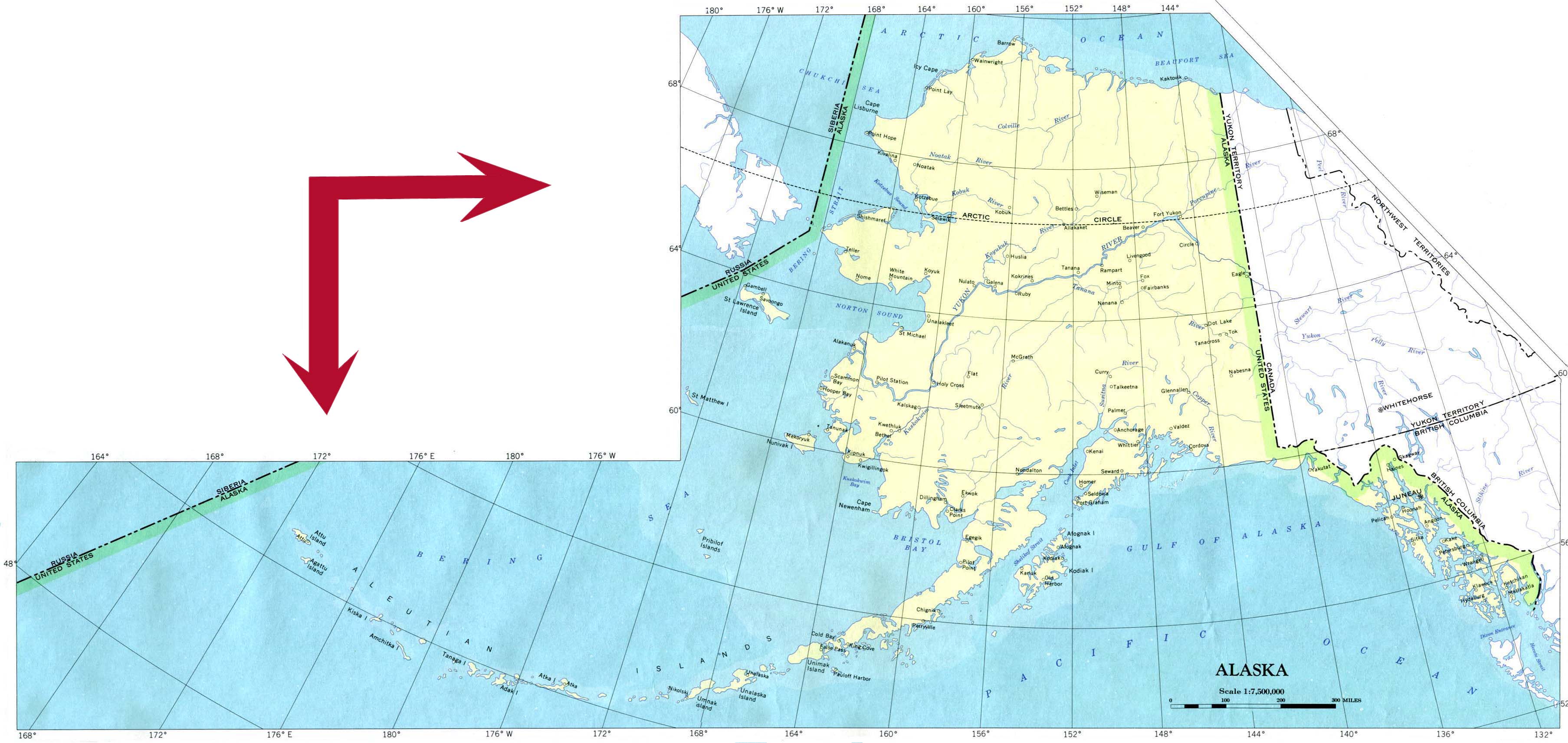
- Large Alaska Map from the University of Texas on-line Map Collection
- Collection of Arctic Maps from the University of Texas Perry-Castaneda Library
- Physical Geography of the Bering Sea from Inforain
- Sonar imagery of the Bering Sea Floor from the USGS
- Images of the Bering Sea from NASA/Visible Earth
- Bering Sea islands, bathymetry, currents and habitats
- Bering and Chukchi Sea GIS coverages from USGS
- View the the globe with topography from any orientation - Try 180 E (View centered on 45 N) (from NOAA)
- Pribilof Island Restoration Project from NOAA